Providing detailed engineering for:
Unsurpassed equipment testing and commissioning services.
Applying advanced technology to bring precision, value, and efficiency to your power project.
Custom projects are our standard.
Our in-house solutions are focused down to the last detail, leading to greater control and accuracy.
Extensive, collective experience in engineering and design.
Safety is at the core of everything we do.
Case studies and white papers written by our industry experts
July 2021
March 2023
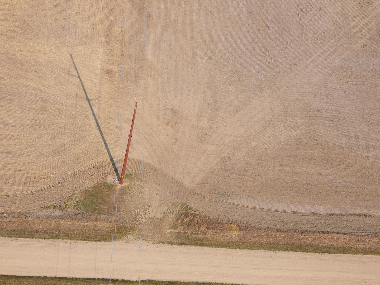
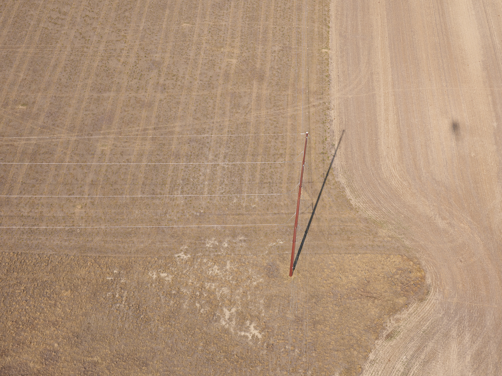
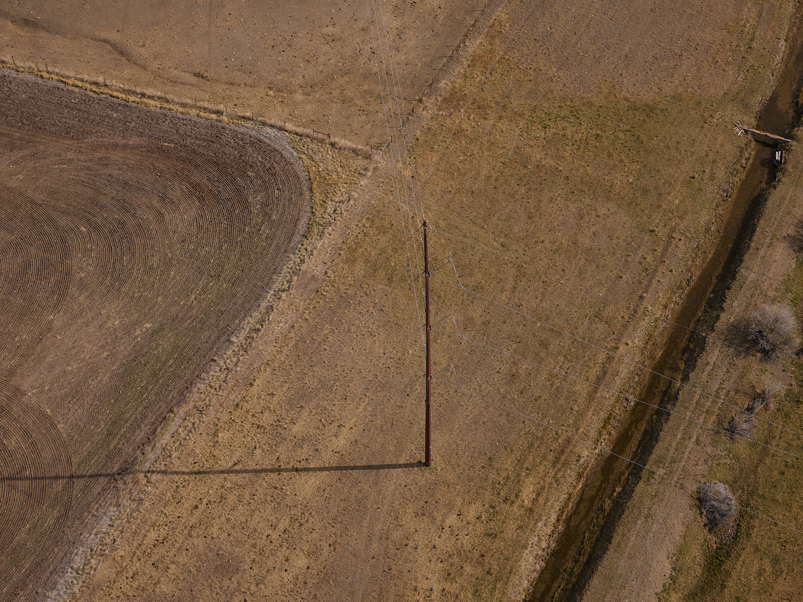
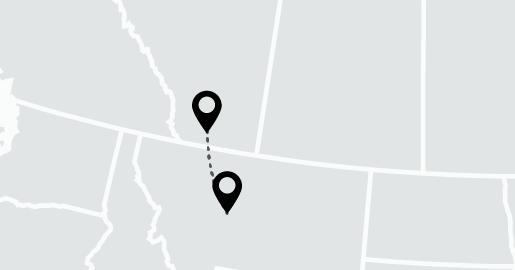
Lethbridge Alberta to Great Falls, Montana