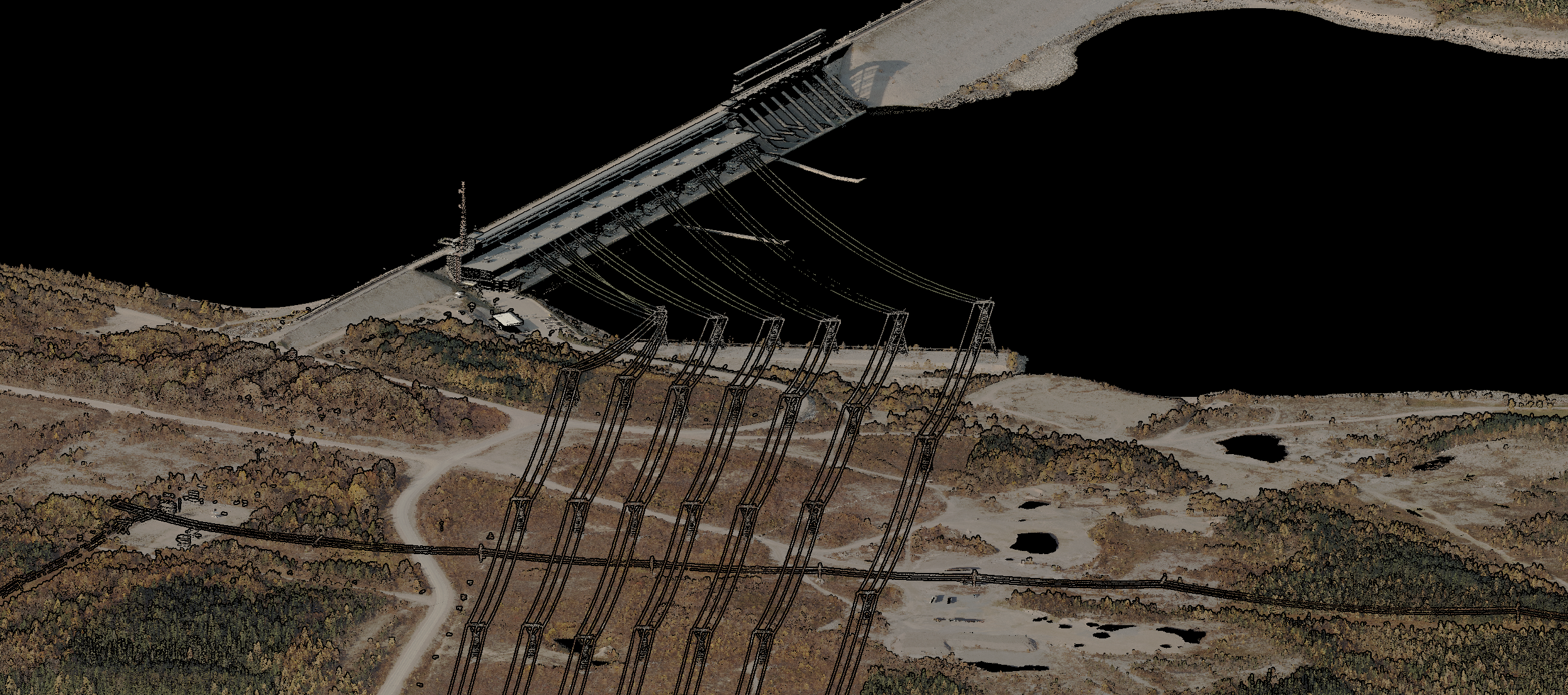
Collection and processing of LiDAR and Orthophotography for Wide Area and Corridor Mapping.
Highlights
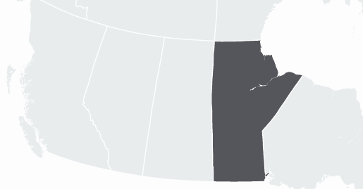
Collected over 10,000 square kilometers of aerial photography and LiDAR in Manitoba.
Included wide area mapping for large swathes of land as well as corridor collection for an existing Transmission Line and a proposed Transmission Right of Way.
Challenges
Coordinating flights to meet project requirements for sun angle, sky clarity and concurrent survey of contiguous areas.
Access to remote areas to establish survey control.